
Kangal topographic map
Interactive map
Click on the map to display elevation.
About this map
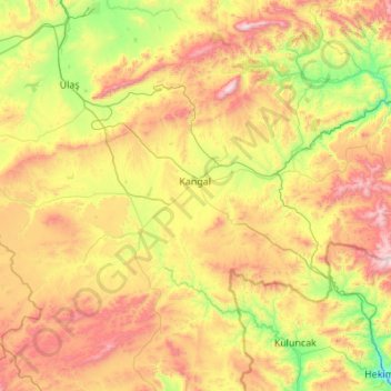
Name: Kangal topographic map, elevation, terrain.
Location: Kangal, Sivas, Central Anatolia Region, 58900, Turkey (38.92536 36.84131 39.48457 37.93201)
Average elevation: 1,660 m
Minimum elevation: 1,058 m
Maximum elevation: 2,673 m