
Makrasyka topographic map
Interactive map
Click on the map to display elevation.
About this map
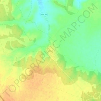
Name: Makrasyka topographic map, elevation, terrain.
Location: Makrasyka, Gazimağusa District, Northern Cyprus, Cyprus (35.05389 33.74244 35.09389 33.78244)
Average elevation: 45 m
Minimum elevation: 26 m
Maximum elevation: 60 m