
Variešu pagasts topographic map
Interactive map
Click on the map to display elevation.
About this map
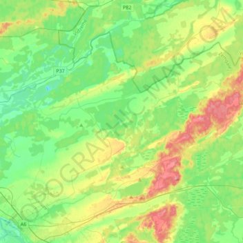
Name: Variešu pagasts topographic map, elevation, terrain.
Location: Variešu pagasts, Krustpils novads, Zemgale, Latvia (56.52622 25.87093 56.66541 26.21213)
Average elevation: 99 m
Minimum elevation: 67 m
Maximum elevation: 162 m