
Makalu topographic map
Interactive map
Click on the map to display elevation.
About this map
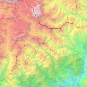
Name: Makalu topographic map, elevation, terrain.
Location: Makalu, Sankhuwasabha, Province #1, Nepal (27.54003 86.96712 27.95792 87.30621)
Average elevation: 4,064 m
Minimum elevation: 735 m
Maximum elevation: 8,376 m