
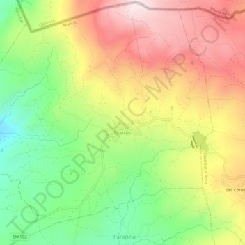
Mairos topographic map
Interactive map
Click on the map to display elevation.
About this map
Name: Mairos topographic map, elevation, terrain.
Location: Mairos, Chaves, Vila Real, Alto Tâmega, Norte, Portugal (41.80776 -7.36961 41.84515 -7.31873)
Average elevation: 788 m
Minimum elevation: 532 m
Maximum elevation: 1,055 m