
Numata topographic map
Interactive map
Click on the map to display elevation.
About this map
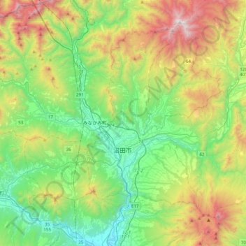
Name: Numata topographic map, elevation, terrain.
Location: Numata, Gunma Prefecture, Japan (36.55826 138.98528 36.79701 139.37248)
Average elevation: 824 m
Minimum elevation: 192 m
Maximum elevation: 2,132 m