
Romang Island topographic map
Interactive map
Click on the map to display elevation.
About this map
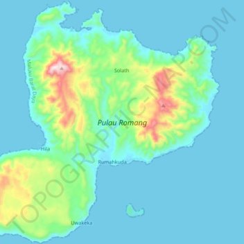
Name: Romang Island topographic map, elevation, terrain.
Location: Romang Island, Solath, Maluku, Indonesia (-7.65485 127.32332 -7.49160 127.48909)
Average elevation: 107 m
Minimum elevation: 0 m
Maximum elevation: 717 m