
Sarıdere topographic map
Interactive map
Click on the map to display elevation.
About this map
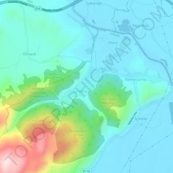
Name: Sarıdere topographic map, elevation, terrain.
Location: Sarıdere, Gölyaka, Düzce, Black Sea Region, 81852, Turkey (40.80201 30.97859 40.84201 31.01859)
Average elevation: 200 m
Minimum elevation: 113 m
Maximum elevation: 539 m