
Glenlyon topographic map
Interactive map
Click on the map to display elevation.
About this map
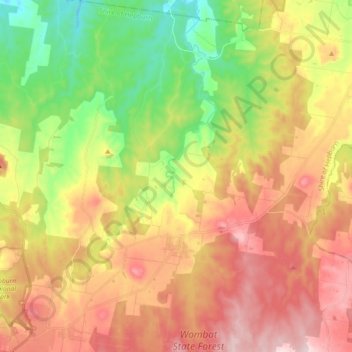
Name: Glenlyon topographic map, elevation, terrain.
Location: Glenlyon, Shire of Hepburn, Victoria, 3446, Australia (-37.34072 144.19050 -37.19612 144.30092)
Average elevation: 512 m
Minimum elevation: 312 m
Maximum elevation: 723 m