
Wennington topographic map
Interactive map
Click on the map to display elevation.
About this map
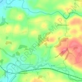
Name: Wennington topographic map, elevation, terrain.
Location: Wennington, Lancaster, Lancashire, England, United Kingdom (54.12356 -2.60522 54.14370 -2.56139)
Average elevation: 71 m
Minimum elevation: 33 m
Maximum elevation: 119 m
Other topographic maps
Click on a map to view its topography, its elevation and its terrain.
Tatham
United Kingdom > England > Lancashire > Lancaster > Wennington
Tatham, Wennington, Lancaster, Lancashire, England, United Kingdom
Average elevation: 211 m