
吕井村 topographic map
Interactive map
Click on the map to display elevation.
About this map
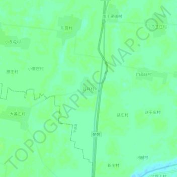
Name: 吕井村 topographic map, elevation, terrain.
Location: 吕井村, 德州市, 山东省, 中国 (37.07556 116.24156 37.11556 116.28156)
Average elevation: 29 m
Minimum elevation: 23 m
Maximum elevation: 31 m