
Kawagama Lake topographic map
Interactive map
Click on the map to display elevation.
About this map
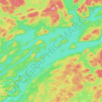
Name: Kawagama Lake topographic map, elevation, terrain.
Average elevation: 398 m
Minimum elevation: 339 m
Maximum elevation: 501 m
Other topographic maps
Click on a map to view its topography, its elevation and its terrain.
Bright Lake
Canada > Ontario > Algonquin Highlands
Bright Lake, Troutspawn Lake Road, Algonquin Highlands, Haliburton County, Central Ontario, Ontario, Canada
Average elevation: 461 m