
Tsimlyansky District topographic map
Interactive map
Click on the map to display elevation.
About this map
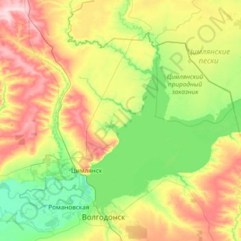
Name: Tsimlyansky District topographic map, elevation, terrain.
Location: Tsimlyansky District, ROS, South federal district, Russia (47.53595 41.71299 48.05050 42.75469)
Average elevation: 63 m
Minimum elevation: 7 m
Maximum elevation: 186 m