
Fairburn topographic map
Interactive map
Click on the map to display elevation.
About this map
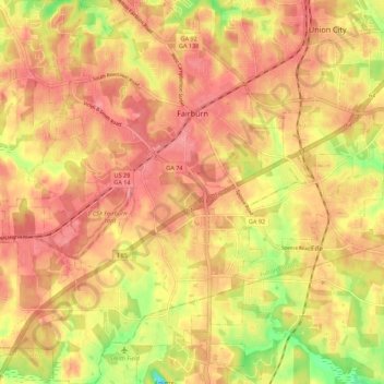
Name: Fairburn topographic map, elevation, terrain.
Location: Fairburn, Georgia, 30213, United States of America (33.50251 -84.63183 33.59400 -84.53531)
Average elevation: 293 m
Minimum elevation: 233 m
Maximum elevation: 324 m