
Masson-Angers topographic map
Interactive map
Click on the map to display elevation.
About this map
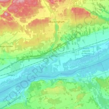
Name: Masson-Angers topographic map, elevation, terrain.
Location: Masson-Angers, Gatineau, Outaouais, Québec, Canada (45.49634 -75.53194 45.59707 -75.34437)
Average elevation: 93 m
Minimum elevation: 38 m
Maximum elevation: 226 m