
La Lunada topographic map
Interactive map
Click on the map to display elevation.
About this map
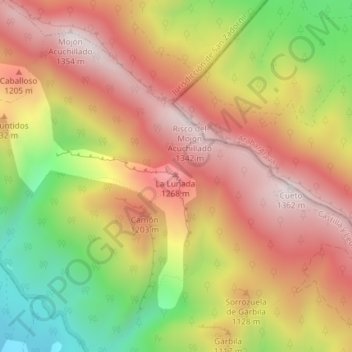
Name: La Lunada topographic map, elevation, terrain.
Location: La Lunada, Valle de Tobalina, Oña, Castile and León, Spain (42.79921 -3.15873 42.79931 -3.15863)
Average elevation: 1,029 m
Minimum elevation: 622 m
Maximum elevation: 1,335 m