
Çamdibi topographic map
Interactive map
Click on the map to display elevation.
About this map
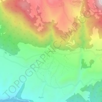
Name: Çamdibi topographic map, elevation, terrain.
Location: Çamdibi, Erbaa, Tokat, Black Sea Region, Turkey (40.66058 36.73321 40.70058 36.77321)
Average elevation: 589 m
Minimum elevation: 233 m
Maximum elevation: 1,117 m
Other topographic maps
Click on a map to view its topography, its elevation and its terrain.