
Ohoidertutu topographic map
Interactive map
Click on the map to display elevation.
About this map
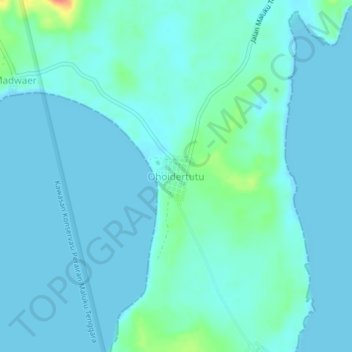
Name: Ohoidertutu topographic map, elevation, terrain.
Location: Ohoidertutu, Maluku, Indonesia (-5.93341 132.67780 -5.89341 132.71780)
Average elevation: 7 m
Minimum elevation: 0 m
Maximum elevation: 53 m