
Korkuteli topographic map
Interactive map
Click on the map to display elevation.
About this map
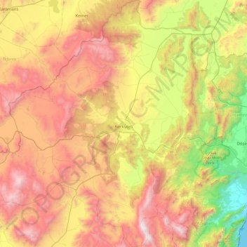
Name: Korkuteli topographic map, elevation, terrain.
Location: Korkuteli, Antalya, Mediterranean Region, Turkey (36.83568 29.73082 37.31951 30.50936)
Average elevation: 1,238 m
Minimum elevation: 0 m
Maximum elevation: 2,749 m
Other topographic maps
Click on a map to view its topography, its elevation and its terrain.