
Gemünd topographic map
Interactive map
Click on the map to display elevation.
Gemünd
Durch den Ort führt der Radwanderweg Eifel-Höhen-Route, der als Rundkurs um und durch den Nationalpark Eifel führt.
About this map
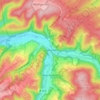
Name: Gemünd topographic map, elevation, terrain.
Average elevation: 436 m
Minimum elevation: 322 m
Maximum elevation: 529 m