
Gazi topographic map
Interactive map
Click on the map to display elevation.
About this map
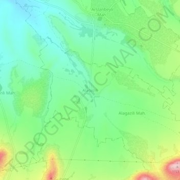
Name: Gazi topographic map, elevation, terrain.
Location: Gazi, Pınarbaşı, Kayseri, Central Anatolia Region, Turkey (38.53036 36.20443 38.57036 36.24443)
Average elevation: 1,563 m
Minimum elevation: 1,482 m
Maximum elevation: 1,731 m