
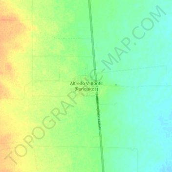
Alfredo V. Bonfil (Periquitos) topographic map
Interactive map
Click on the map to display elevation.
About this map
Name: Alfredo V. Bonfil (Periquitos) topographic map, elevation, terrain.
Average elevation: 63 m
Minimum elevation: 49 m
Maximum elevation: 81 m