
Les Andalouses topographic map
Interactive map
Click on the map to display elevation.
About this map
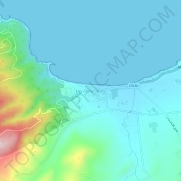
Name: Les Andalouses topographic map, elevation, terrain.
Location: Les Andalouses, El Ançor, Daïra Aïn Turk, Oran, Algérie (35.68507 -0.91691 35.72507 -0.87691)
Average elevation: 58 m
Minimum elevation: 0 m
Maximum elevation: 351 m