
Milton topographic map
Interactive map
Click on the map to display elevation.
About this map
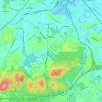
Name: Milton topographic map, elevation, terrain.
Location: Milton, Norfolk County, Massachusetts, USA (42.20071 -71.13075 42.27810 -71.03142)
Average elevation: 41 m
Minimum elevation: -2 m
Maximum elevation: 189 m