
Dunga topographic map
Interactive map
Click on the map to display elevation.
About this map
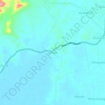
Name: Dunga topographic map, elevation, terrain.
Location: Dunga, Gorontalo, Indonesia (0.50390 121.77610 0.54390 121.81610)
Average elevation: 12 m
Minimum elevation: 0 m
Maximum elevation: 119 m