
Volcán de Tequila topographic map
Interactive map
Click on the map to display elevation.
About this map
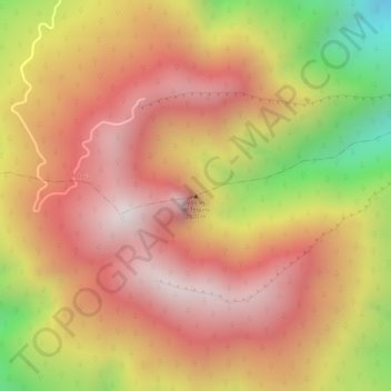
Name: Volcán de Tequila topographic map, elevation, terrain.
Location: Volcán de Tequila, Tequila, Region Valles, Jalisco, Mexico (20.78885 -103.84192 20.78895 -103.84182)
Average elevation: 2,630 m
Minimum elevation: 2,103 m
Maximum elevation: 2,923 m
Other topographic maps
Click on a map to view its topography, its elevation and its terrain.