
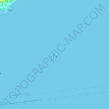
Cha Kwo Chau topographic map
Interactive map
Click on the map to display elevation.
About this map
Name: Cha Kwo Chau topographic map, elevation, terrain.
Location: Cha Kwo Chau, Tong Fuk, Islands District, Hong Kong, PRC (22.21417 113.94517 22.21549 113.94685)
Average elevation: 0 m
Minimum elevation: -1 m
Maximum elevation: 18 m