
Mariekerke topographic map
Interactive map
Click on the map to display elevation.
About this map
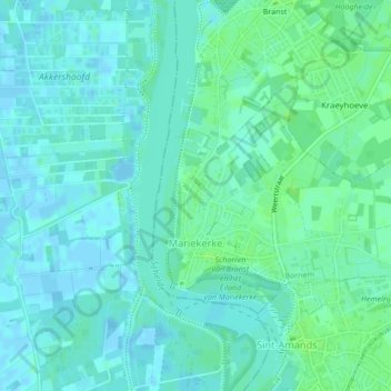
Name: Mariekerke topographic map, elevation, terrain.
Location: Mariekerke, Bornem, Mechelen, Antwerpen, Vlaanderen, België (51.05818 4.18631 51.07454 4.21622)
Average elevation: 4 m
Minimum elevation: -3 m
Maximum elevation: 9 m
Other topographic maps
Click on a map to view its topography, its elevation and its terrain.
Buitenland
België > Antwerpen > Mechelen > Bornem
Buitenland, Bornem, Mechelen, Antwerpen, Vlaanderen, 2880, België
Average elevation: 6 m