
Wawona topographic map
Interactive map
Click on the map to display elevation.
About this map
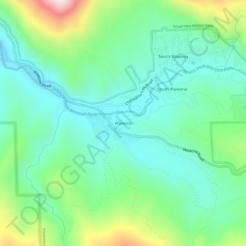
Name: Wawona topographic map, elevation, terrain.
Location: Wawona, Mariposa County, California, USA (37.51687 -119.67492 37.55687 -119.63492)
Average elevation: 1,334 m
Minimum elevation: 1,184 m
Maximum elevation: 1,730 m