
Tsim Chau topographic map
Interactive map
Click on the map to display elevation.
About this map
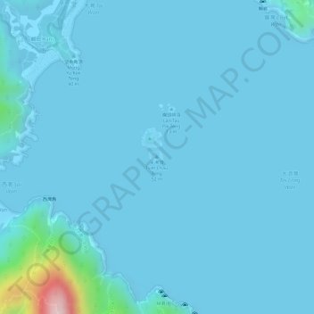
Name: Tsim Chau topographic map, elevation, terrain.
Location: Tsim Chau, Ham Tin, Sai Kung District, Hong Kong, PRC (22.40095 114.38553 22.40233 114.38730)
Average elevation: 16 m
Minimum elevation: -4 m
Maximum elevation: 291 m
Other topographic maps
Click on a map to view its topography, its elevation and its terrain.
Lan Tau Pai
Lan Tau Pai, Ham Tin, Sai Kung District, Hong Kong, PRC
Average elevation: 8 m