
Shelter Island topographic map
Interactive map
Click on the map to display elevation.
About this map
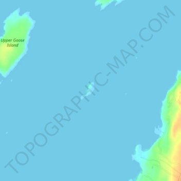
Name: Shelter Island topographic map, elevation, terrain.
Location: Shelter Island, Cumberland County, Maine, United States (43.79731 -70.01761 43.79990 -70.01469)
Average elevation: 2 m
Minimum elevation: 0 m
Maximum elevation: 31 m