
Queen Charlotte (Village) topographic map
Interactive map
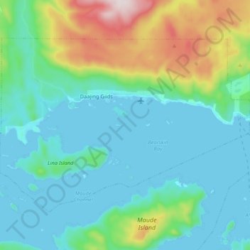
Click on the map to display elevation.
About this map
Name: Queen Charlotte (Village) topographic map, elevation, terrain.
Average elevation: 125 m
Minimum elevation: -1 m
Maximum elevation: 602 m