
Tacaná topographic map
Interactive map
Click on the map to display elevation.
About this map
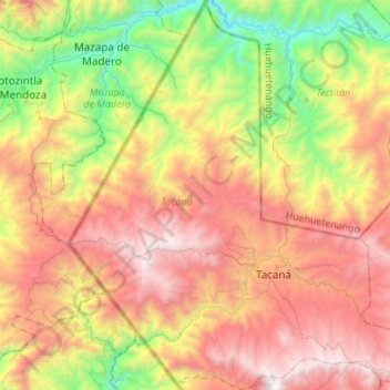
Name: Tacaná topographic map, elevation, terrain.
Location: Tacaná, San Marcos, Guatemala (15.16230 -92.21033 15.42369 -91.94690)
Average elevation: 2,087 m
Minimum elevation: 884 m
Maximum elevation: 3,397 m