
Ngoc Hien District topographic map
Interactive map
Click on the map to display elevation.
About this map
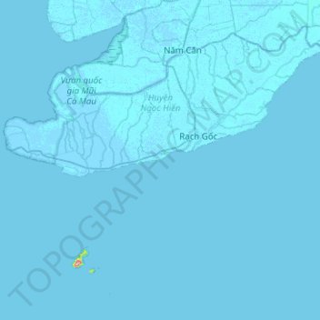
Name: Ngoc Hien District topographic map, elevation, terrain.
Location: Ngoc Hien District, Ca Mau province, Vietnam (8.41263 104.71239 8.79531 105.21480)
Average elevation: 1 m
Minimum elevation: -7 m
Maximum elevation: 289 m
Other topographic maps
Click on a map to view its topography, its elevation and its terrain.