
Neosho County topographic map
Interactive map
Click on the map to display elevation.
About this map
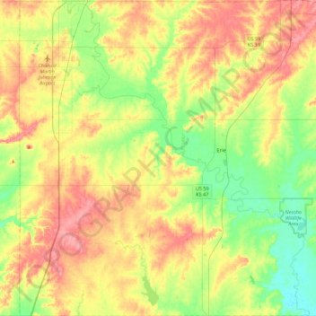
Name: Neosho County topographic map, elevation, terrain.
Location: Neosho County, Kansas, USA (37.38384 -95.52623 37.73322 -95.08720)
Average elevation: 290 m
Minimum elevation: 255 m
Maximum elevation: 328 m
Other topographic maps
Click on a map to view its topography, its elevation and its terrain.