
City of Ithaca topographic map
Interactive map
Click on the map to display elevation.
About this map
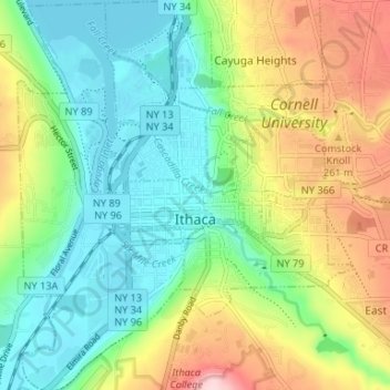
Name: City of Ithaca topographic map, elevation, terrain.
Location: City of Ithaca, Tompkins County, New York, United States (42.41817 -76.52700 42.46694 -76.46999)
Average elevation: 195 m
Minimum elevation: 112 m
Maximum elevation: 347 m