
Monte Sillara topographic map
Interactive map
Click on the map to display elevation.
About this map
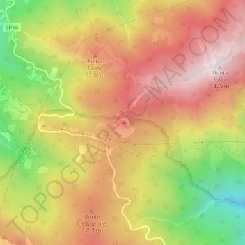
Name: Monte Sillara topographic map, elevation, terrain.
Location: Monte Sillara, Corniglio, PR, EMR, Italia (44.48456 10.01147 44.48466 10.01157)
Average elevation: 1,139 m
Minimum elevation: 784 m
Maximum elevation: 1,407 m