
Thermopolis topographic map
Interactive map
Click on the map to display elevation.
About this map
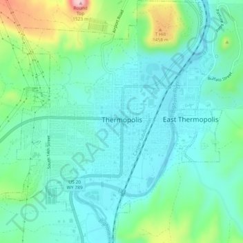
Name: Thermopolis topographic map, elevation, terrain.
Average elevation: 1,360 m
Minimum elevation: 1,309 m
Maximum elevation: 1,525 m
Other topographic maps
Click on a map to view its topography, its elevation and its terrain.
Hamilton Dome
United States > Wyoming > Hot Springs County
Hamilton Dome, Hot Springs County, Wyoming, United States
Average elevation: 1,688 m