
Lantau North Country Park topographic map
Interactive map
Click on the map to display elevation.
About this map
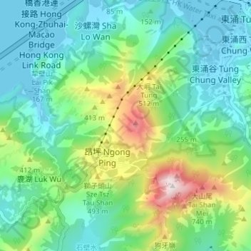
Name: Lantau North Country Park topographic map, elevation, terrain.
Average elevation: 232 m
Minimum elevation: -3 m
Maximum elevation: 885 m
Other topographic maps
Click on a map to view its topography, its elevation and its terrain.