
Bunia topographic map
Interactive map
Click on the map to display elevation.
About this map
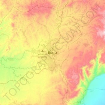
Name: Bunia topographic map, elevation, terrain.
Location: Bunia, Ituri, DR Congo (1.40205 30.08788 1.72205 30.40788)
Average elevation: 1,271 m
Minimum elevation: 651 m
Maximum elevation: 1,952 m