
Kelseyville topographic map
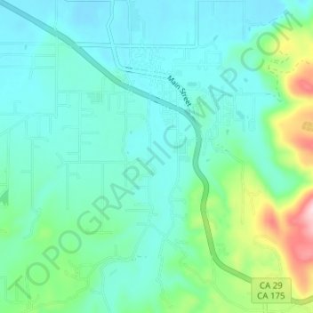
Interactive map
Click on the map to display elevation.
About this map
Name: Kelseyville topographic map, elevation, terrain.
Average elevation: 462 m
Minimum elevation: 409 m
Maximum elevation: 668 m
Kelseyville is a census-designated place (CDP) in Lake County, California, United States. Kelseyville is located 6 miles (9.7 km) southeast of Lakeport, at an elevation of 1,384 feet (422 m). The population was 3,353 at the 2010 census, up from 2,928 at the 2000 census.