
Peng Chau topographic map
Interactive map
Click on the map to display elevation.
About this map
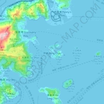
Name: Peng Chau topographic map, elevation, terrain.
Location: Peng Chau, Islands District, Hong Kong, NT, PRC (22.24554 113.99825 22.32554 114.07825)
Average elevation: 34 m
Minimum elevation: -3 m
Maximum elevation: 455 m