
Walworth County topographic map
Interactive map
Click on the map to display elevation.
About this map
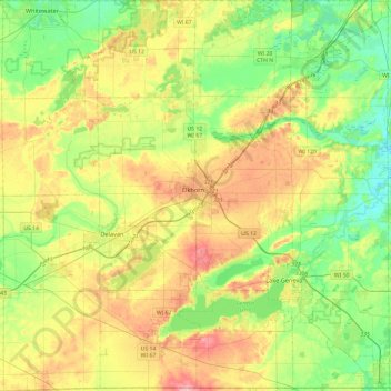
Name: Walworth County topographic map, elevation, terrain.
Location: Walworth County, Wisconsin, United States (42.49195 -88.77874 42.84300 -88.30466)
Average elevation: 282 m
Minimum elevation: 231 m
Maximum elevation: 361 m
Other topographic maps
Click on a map to view its topography, its elevation and its terrain.
Jacksonport
United States > Wisconsin > Door County
Jacksonport, Town of Jacksonport, Door County, Wisconsin, United States
Average elevation: 184 m