
Mount Harrison topographic map
Interactive map
Click on the map to display elevation.
About this map
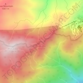
Name: Mount Harrison topographic map, elevation, terrain.
Location: Mount Harrison, Sevier County, Tennessee, USA (35.69691 -83.57273 35.69701 -83.57263)
Average elevation: 927 m
Minimum elevation: 541 m
Maximum elevation: 1,176 m
Other topographic maps
Click on a map to view its topography, its elevation and its terrain.
Great Smoky Mountains National Park
USA > Tennessee > Fort Harry
Great Smoky Mountains National Park, Boulevard Trail, Fort Harry, Sevier County, Tennessee, USA
Average elevation: 765 m