
Ngau Tau Pai topographic map
Interactive map
Click on the map to display elevation.
About this map
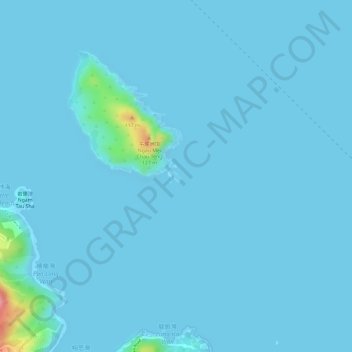
Name: Ngau Tau Pai topographic map, elevation, terrain.
Location: Ngau Tau Pai, Ng Fai Tin, Sai Kung District, Hong Kong, PRC (22.32162 114.30100 22.32265 114.30214)
Average elevation: 5 m
Minimum elevation: -1 m
Maximum elevation: 112 m