
Parc régional des Sept-Chutes topographic map
Interactive map
Click on the map to display elevation.
About this map
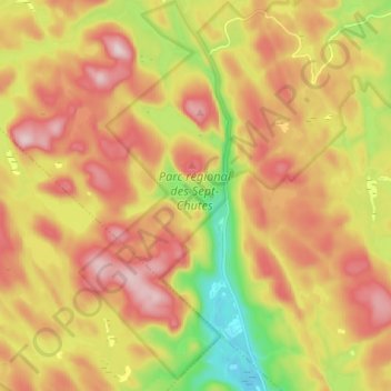
Name: Parc régional des Sept-Chutes topographic map, elevation, terrain.
Average elevation: 506 m
Minimum elevation: 304 m
Maximum elevation: 688 m
Other topographic maps
Click on a map to view its topography, its elevation and its terrain.
Lac de la Sauterelle
Canada > Québec > Saint-Zénon
Lac de la Sauterelle, Sentier Mistikush, Saint-Zénon, Matawinie, Lanaudière, Québec, Canada
Average elevation: 466 m