
Lung Shan Pai topographic map
Interactive map
Click on the map to display elevation.
About this map
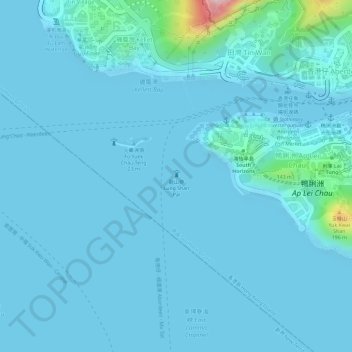
Name: Lung Shan Pai topographic map, elevation, terrain.
Average elevation: 19 m
Minimum elevation: -3 m
Maximum elevation: 255 m
Other topographic maps
Click on a map to view its topography, its elevation and its terrain.
Shui Choi Tin Village
Shui Choi Tin Village, Southern District, Hong Kong, RBL 561, PRC
Average elevation: 94 m