
Traverse City topographic map
Interactive map
Click on the map to display elevation.
About this map
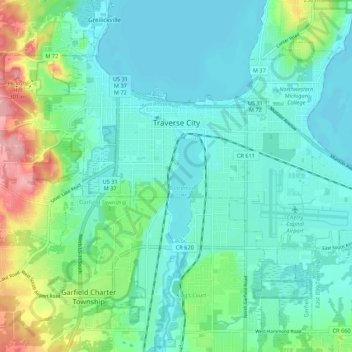
Name: Traverse City topographic map, elevation, terrain.
Location: Traverse City, Grand Traverse County, Michigan, USA (44.71514 -85.65924 44.78257 -85.55078)
Average elevation: 205 m
Minimum elevation: 174 m
Maximum elevation: 307 m