
Thank you for supporting this site ❤️
Make a donation
Make a donation
Corrientes topographic map
Click on the map to display elevation.
Thank you for supporting this site ❤️
Make a donation
Make a donation
About this map
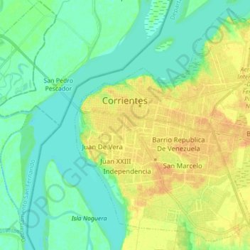
Name: Corrientes topographic map, elevation, terrain.
Location: Corrientes, Departamento Capital, Corrientes, Argentina (-27.53796 -58.85911 -27.42359 -58.72074)
Average elevation: 53 m
Minimum elevation: 42 m
Maximum elevation: 69 m
Thank you for supporting this site ❤️
Make a donation
Make a donation