
Owslebury topographic map
Interactive map
Click on the map to display elevation.
About this map
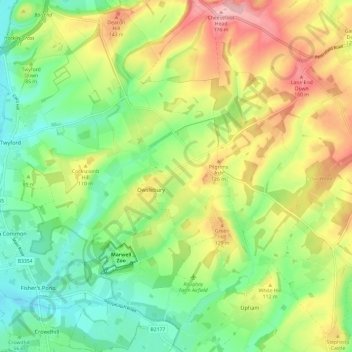
Name: Owslebury topographic map, elevation, terrain.
Location: Owslebury, Winchester, Hampshire, England, United Kingdom (50.97353 -1.29801 51.04861 -1.22436)
Average elevation: 85 m
Minimum elevation: 20 m
Maximum elevation: 180 m